Tayya

Blog by Tayya

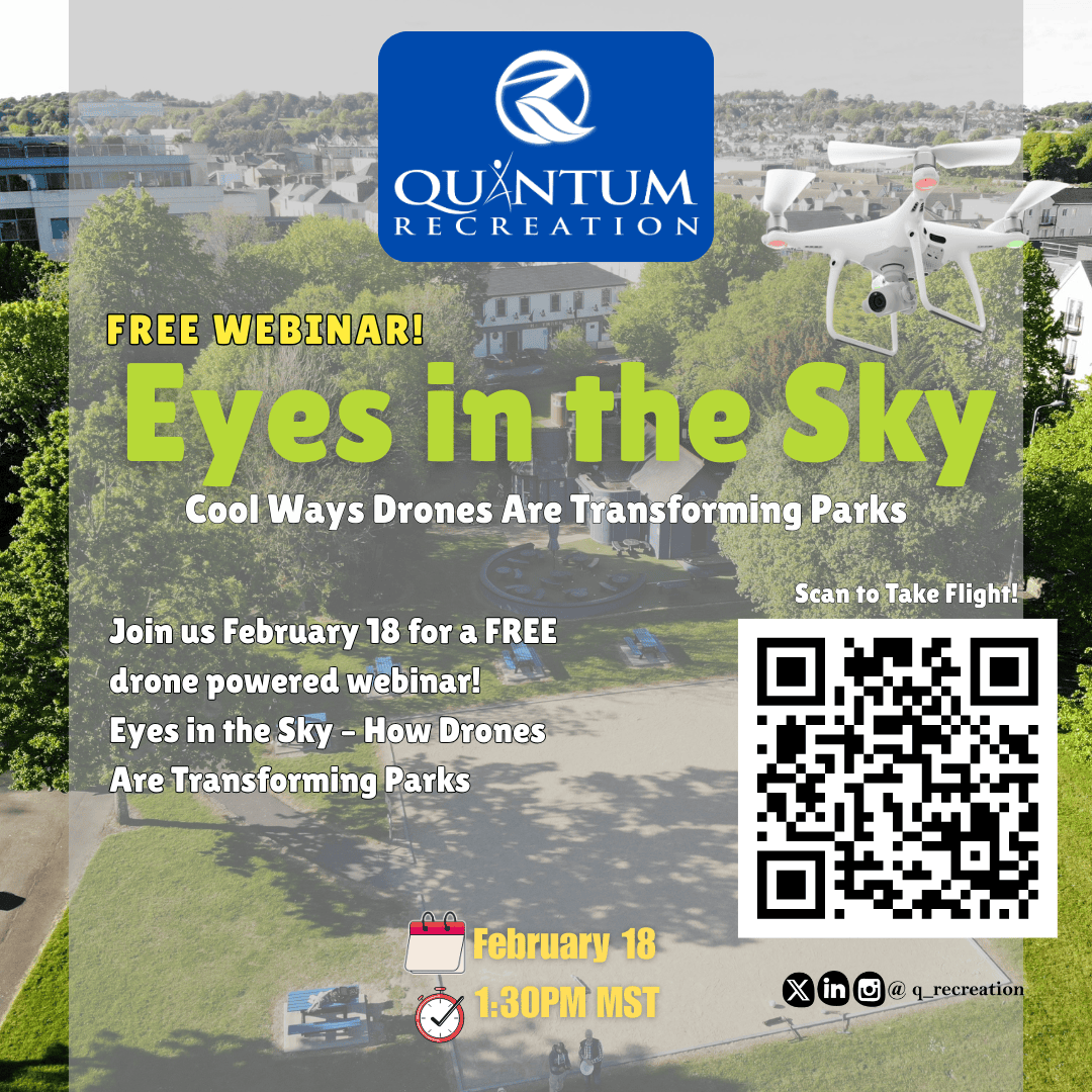
Drones are transforming park and open space assessments, providing faster, safer, and more accurate data. Thermal imaging shows heat-based conditions, while LiDAR maps 3D terrain and structures, helping agencies and consultants improve planning, maintenance, and long-term asset management.
05.01.26 05:54 PM - Comment(s)
CSA Z614-20 compliance isn’t about labels—it’s about performance and proper installation. Materials, anchoring, testing, and hazard assessments all play a role, and cutting corners often leads to safety risks and non-compliance.
26.12.25 04:00 PM - Comment(s)
The Quantum Recreation 2026 Webinar Lunch Series offers free monthly webinars for parks and recreation professionals, covering budgeting, planning, technology, maintenance, and community engagement.
16.12.25 05:08 PM - Comment(s)
Drone season is over, and our Phantom Multispectral is now in winter hibernation. Low sun angles and cold temperatures limit accurate imaging, but planning begins now. Pre-book spring drone assessments as flights resume in late February or early March.
28.11.25 12:12 AM - Comment(s)
Quantum Recreation introduces new Campground Safety Handouts with step-by-step inspection checklists, hazard prioritization, photo documentation standards, and seasonal/weather-triggered guidelines to help parks and municipalities improve safety and consistency. Contact info@quantumrecreation.com
14.11.25 09:42 PM - Comment(s)

Tags